WHITE RIVER FALLS STATE PARK
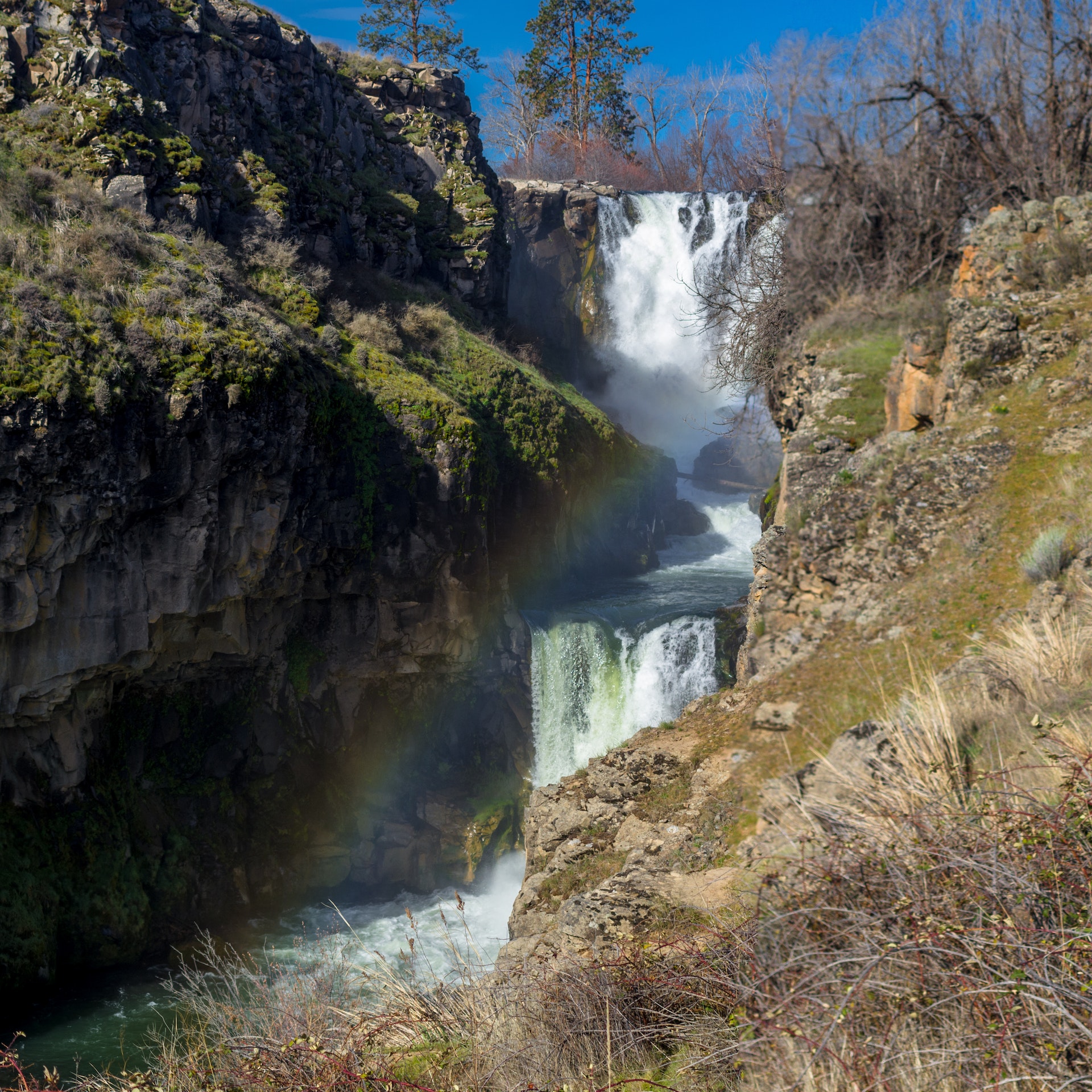
Central Oregon's White River Falls plunges 90' over a basalt shelf, testament to the violent geological forces that carved the region millions of years ago. An overlook is a short walk from the parking area.
A steep, rough .7-mile trail takes hikers deep into the canyon to the historic hydroelectric power plant at the base of the falls, then on to Lower White River Falls. One of the first hydroelectric power plants in Oregon, it supplied electricity to Wasco and Sherman Counties from 1910-1963.
The park is open year-round, though the main parking lot and flush restroom close during winter. Spring is the best time to see the waterfall's thunderous flow by fall it slows to a few trickles.
CAUTION Swimming is not recommended due to deadly and unpredictable river currents.
Once known as Tygh Valley State Wayside, Pacific Power and Light Company gave the state 255.13 acres in 1969. In 1970, the state received a patent on 40 acres formerly held by the Bureau of Land Management. In 1978, a land exchanged with a private property owner completed the park. Pacific Power and Light Company acquired the White River Falls area for hydroelectric generation in 1910 and produced electricity here to 1963.


 Share Your White River Falls State Park Photos (click here)
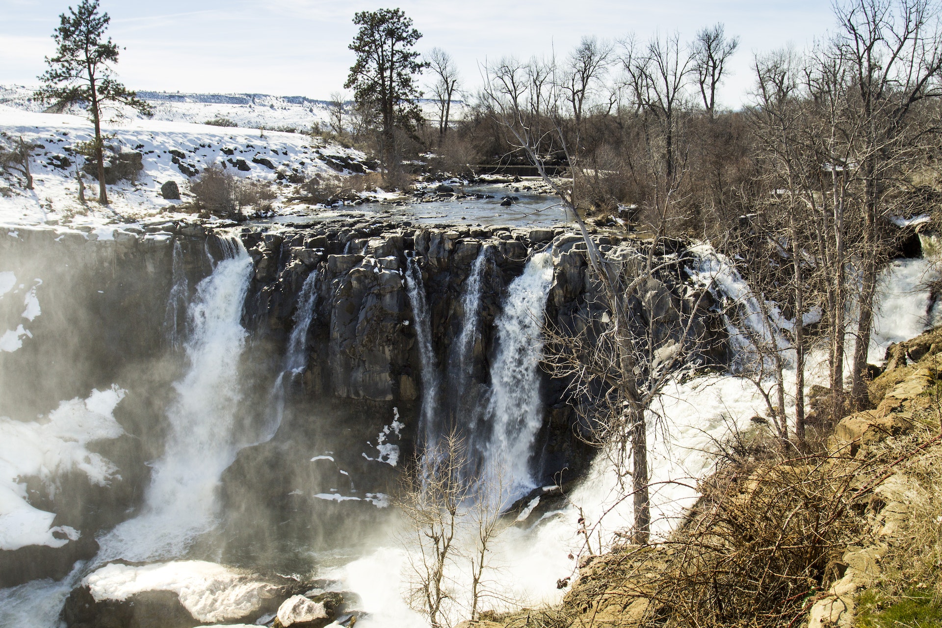