PICTURED ROCKS NATIONAL LAKESHORE
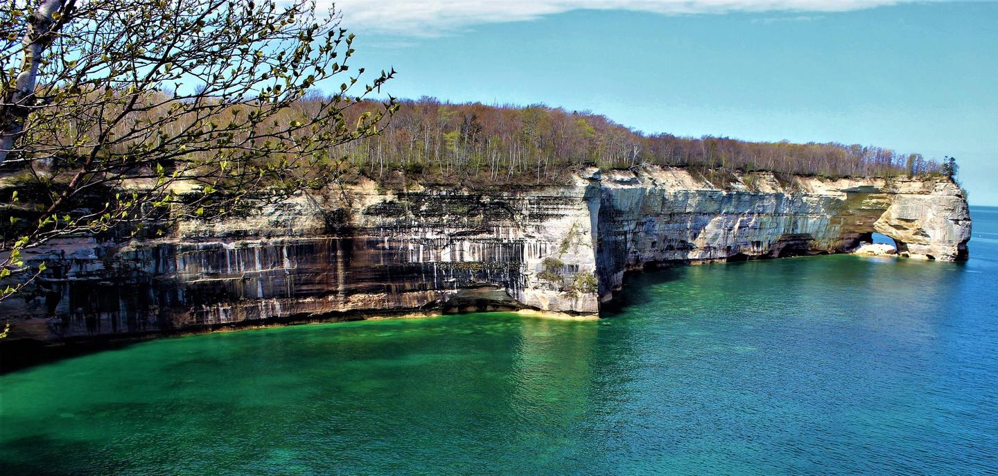
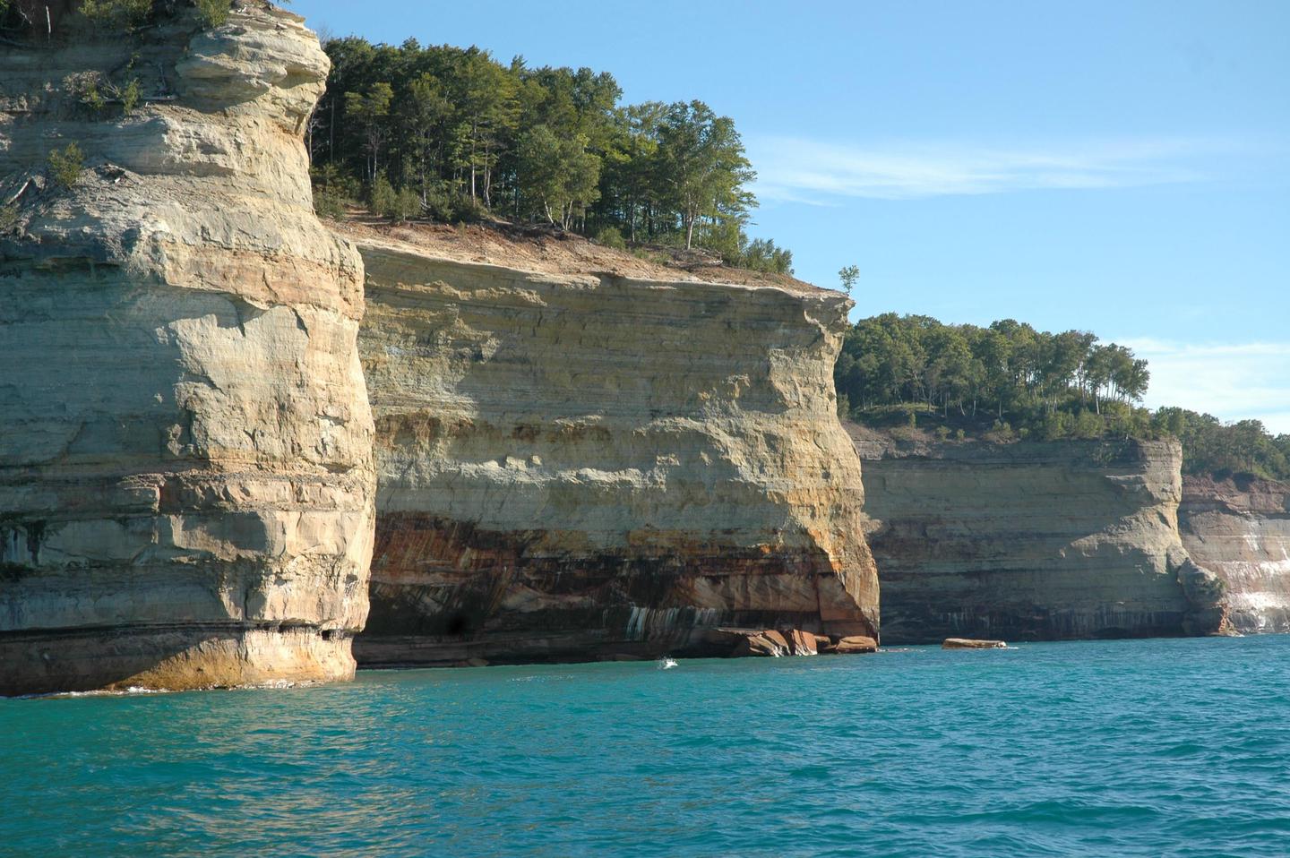
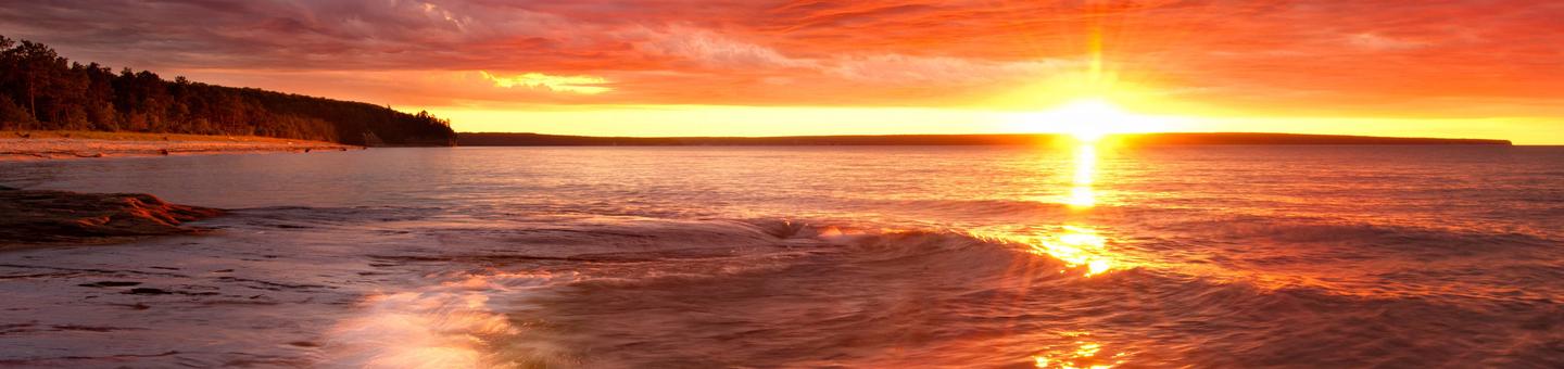
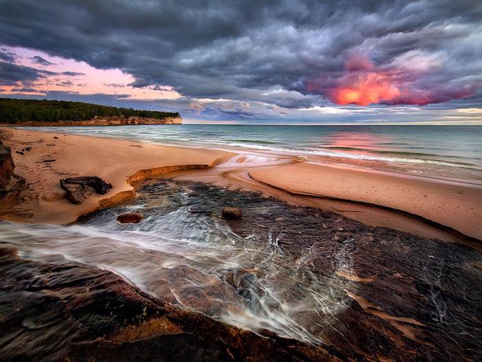
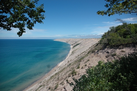
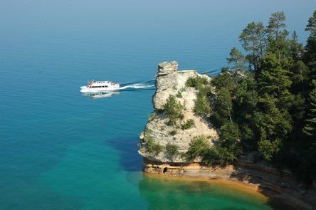
Sandstone cliffs, beaches, sand dunes, waterfalls, inland lakes, deep forest, and wild shoreline beckon you to visit Pictured Rocks National Lakeshore. The power of Lake Superior shapes the park's coastal features and affects every ecosystem, creating a unique landscape to explore. Hiking, camping, sightseeing, and four-season outdoor opportunities abound.
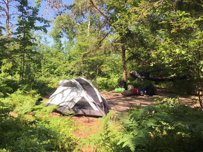
 Hurricane River Campground
Pictured Rocks National Lakeshore hugs the Lake Superior shoreline for more than 40 miles along Michigan's northern coast. Lake Superior is the largest, deepest, coldest, and most pristine of all the Great Lakes. Camping at Pictured Rocks National Lakeshore is a great way to relax and enjoy the beauties the lakeshore has to offer. Campgrounds are rustic,
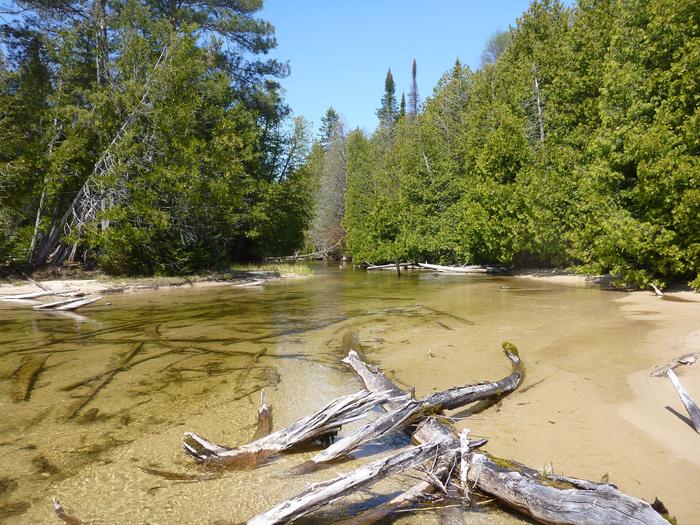
....moreLittle Beaver Lake Campground Trailhead Pictured Rocks National Lakeshore hugs the Lake Superior shoreline for more than 40 miles 64 km along Michigan's northern coast. Lake Superior is the largest, deepest, coldest, and most pristine of all the Great Lakes. Camping at Pictured Rocks National Lakeshore is a great way to relax and enjoy the beauties the lakeshore has to offer. Campgrounds are
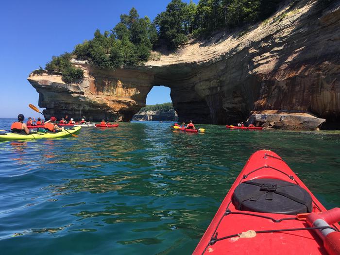
....more Pictured Rocks National Lakeshore Backcountry Camping Permit Pictured Rocks National Lakeshore hugs the Lake Superior shoreline for more than 40 miles along Michigan's northern coast. Lake Superior is the largest, deepest, coldest, and most pristine of all the Great Lakes. In addition to boating and kayaking on the lake, the park's backcountry offers nearly 100 miles of walking and hiking trails and opportunities for
....more Twelvemile Beach Campground Twelvemile Beach Campground is a beautiful campground along Lake Superior located within the Pictured Rocks National Lakeshore, just 15 miles west of Grand Marais. There are 36 sites total, including 2 handicap accessible sites. Twelvemile Beach has water, pit toilets, picnic tables, fire rings, and an interpretive amphitheater. The campground has access to
....more


 Share Your Pictured Rocks National Lakeshore Photos (click here)
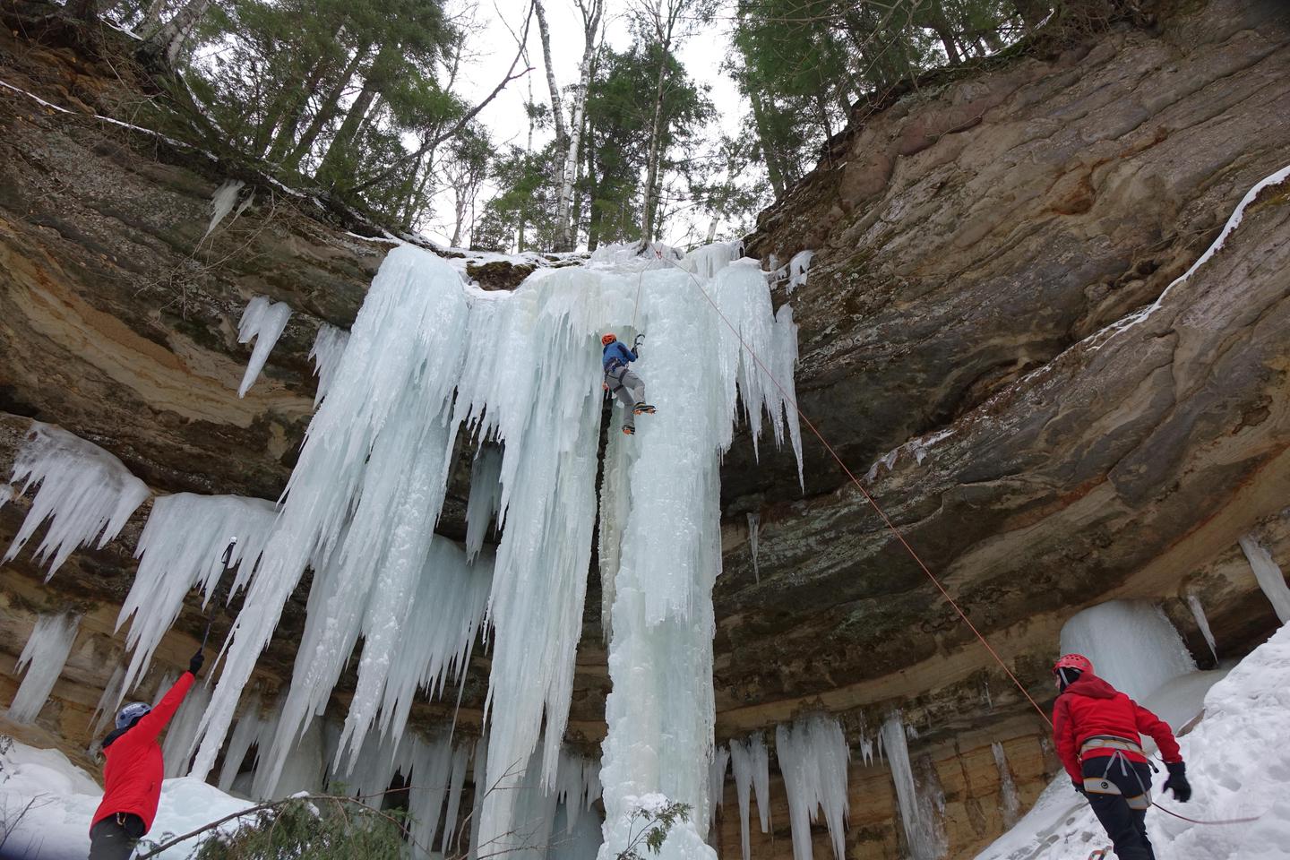