state route ranger badge
Oregon
26

Oregon State Parks

responsive menu icon
USA Parks
Oregon
Region
Devil''s Punchbowl Natural Area
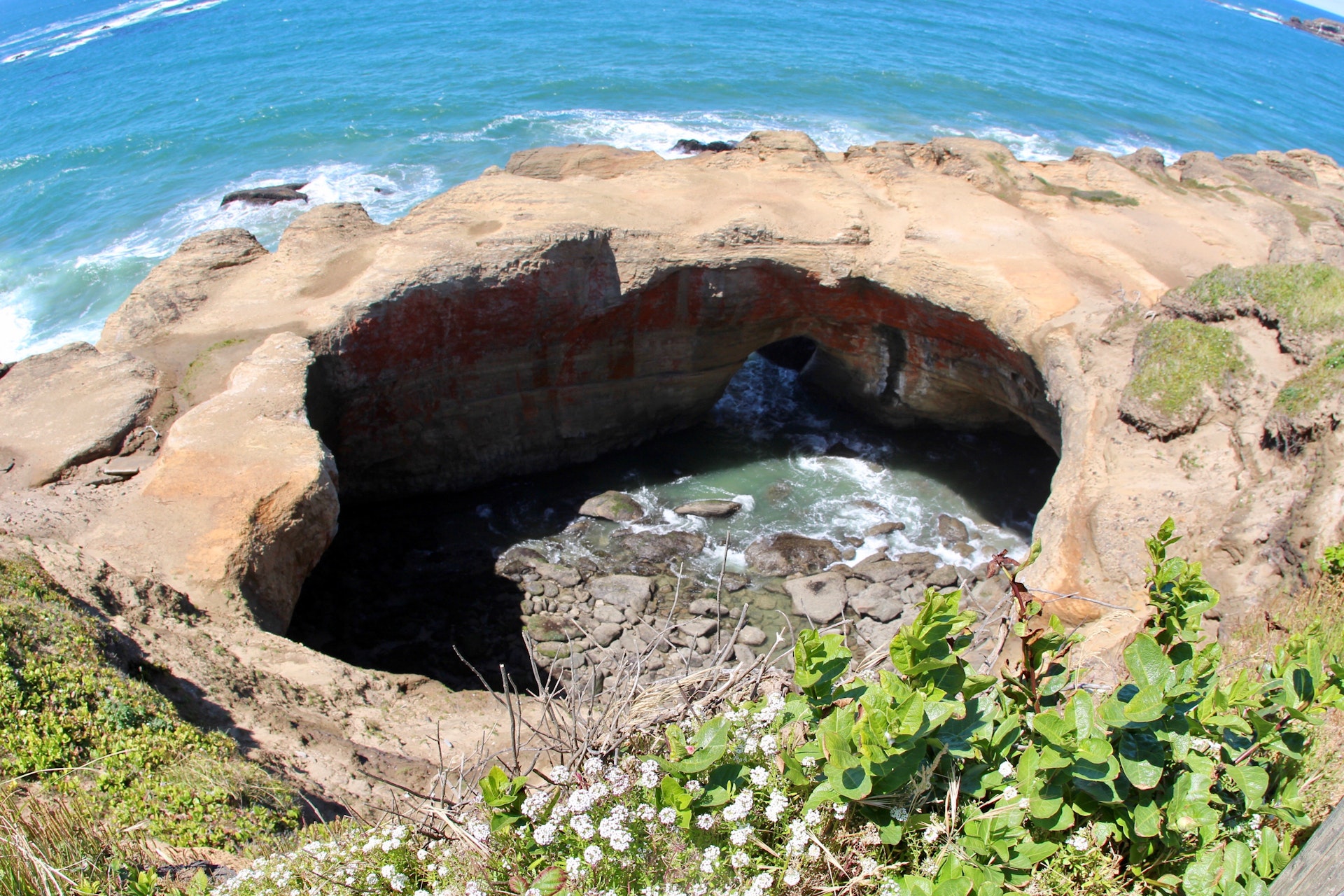
Devil's Punchbowl Natural Area © daveynin / CC BY 2.0
Search
Availability
Calendars
Availability Search
DEVIL''S PUNCHBOWL NATURAL AREA
28000 Devils Punchbowl Road
Pearblossom, Oregon   93553
(lat:34.4139 lon:-117.8583) map location
Surfers and surf watchers energize this area! During winter storms, water from the restless ocean slams with a thundering roar into a hollow rock formation shaped like a huge punch bowl. The surf churns, foams, and swirls as it mixes a violent brew. The punch bowl was probably created by the collapse of the roof over two sea caves, then shaped by wave action. The park is a popular whale watching site and displays an intriguing geology. This is a scenic picnic spot atop the undulating rocky shoreline. Don?t forget to explore the tidepools.
FACILITIES AND ACTIVITIES OVERVIEW
GeneralLand, acres8
Day-UseFishingyes
 Picnickingyes

Nearby Hotels, Vacation Rentals
Search Vrbo - Booking.com - Expedia


Location
Devil''s Punchbowl Natural Area is located near Altadena, La Canada Flintridge and Littlerock


Share On

Loading data...
View
Photo Gallery
view the photo gallery

Nearby Parks

state route ranger badge
Oregon
26

Oregon State Parks

X