UPPER SIOUX AGENCY STATE PARK
Upper Sioux Agency State Park contains the site of the Upper Sioux or Yellow Medicine Agency. The park was established in 1963 to preserve and interpret the remains of the old Agency site. The park covers 1,280 acres and offers diversity: open prairie knolls, bluffs, and cool, wooded slopes. From the vistas, visitors enjoy the trails which are ideal for horseback riding, hiking, skiing, and snowmobiling. The park also offers a huge sliding hill for winter fun.
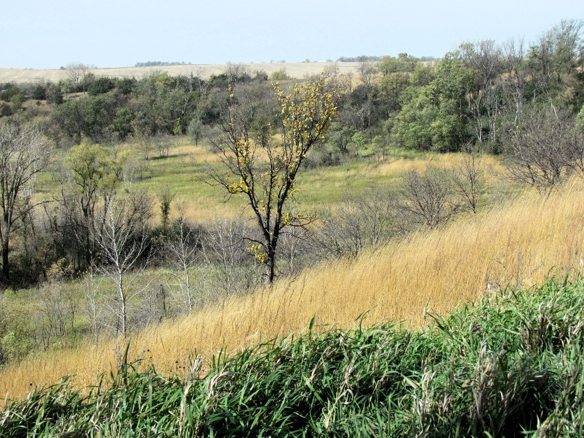
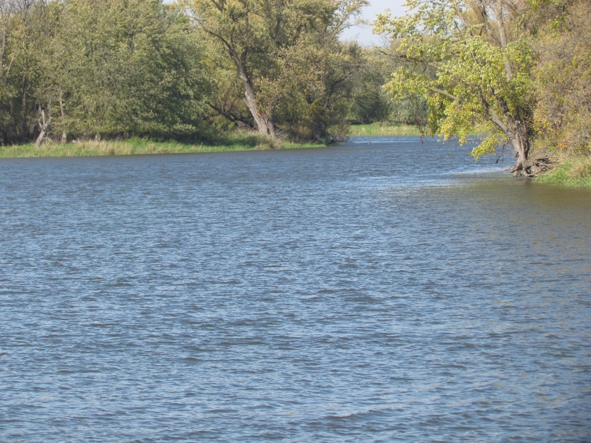
The landscape in the park is diverse with grasslands, wetlands, woods, rivers, open prairie knolls, old fields and meadows. Scattered bur oaks are the oldest trees in the park. The Minnesota River flows along the park's northern boundary. The rugged scenic beauty of the river valley can be viewed along the trails and the prairie knolls.
For tens of thousands of years, glaciers advanced, covered and retreated over central Minnesota. These glaciers left several hundred feet of rock, sand and gravel, known as glacial drift, which covered the granite and gneiss bedrock. Upper Sioux Agency State Park sits on a plateau of this glacial drift. When the last glacier retreated, its melt water formed glacial Lake Agassiz in the area which is now the Red River Valley. Melt water in the lake drained south through an already existing river valley forming the glacial River Warren. The valley was cut wider and deeper, in many spots, all the way to bedrock. As Lake Agassiz declined, water no longer drained south. A huge valley with a tiny river was left behind, which is now called the Minnesota River. Starting at Big Stone Lake State Park, the Minnesota River travels over 330 miles of central Minnesota on its way to the Mississippi River at St. Paul.
From the river's bank visitors can fish for walleyes, northerns, catfish, bullheads and carp. Watch for white pelicans and great blue herons along edges of shallow pools. Spotted sandpipers, killdeer and other shore birds frequently hunt for insects on the gravel bars and mud flats along the river. Red-tailed hawks, turkey vultures and white pelicans catch the air currents above the valley. Bald eagles winter in the Minnesota River Valley.
The Treaty of Traverse Des Sioux of 1851 moved the Dakota Indians from Iowa and Minnesota to a reservation 20 miles wide along the Minnesota River Valley extending from Big Stone to Fort Ridgely. The Yellow Medicine Agency was established to administer the terms of the treaty. In the summer of 1862, the Yellow Medicine Agency was destroyed during the U.S.-Dakota Conflict. Today, Upper Sioux Agency State Park exists to preserve the old agency site and provide recreational opportunities in the scenic Minnesota River Valley.


 Share Your Upper Sioux Agency State Park Photos (click here)